Ajax Hydro Tracker
Ajax is proud to introduce the Hydro Tracker, the best groundwater detection device on the market. This device combines 3D ground imaging technology, automatic scanning, manual scanning, and advanced scanning. Designed to simplify the efforts of users and water exploration companies, the Hydro Tracker delivers accurate and reliable results. The device accurately identifies the location, type, and probability of water presence, and pinpoints the ideal drilling location. It also features an impressive depth of up to 1,000 meters.
The Hydro Tracker is a major advancement in geophysical groundwater detection devices. The expert developers and engineers at Ajax have made this system easier and more accurate than before. The device now comes with a larger screen, an advanced, user-friendly system, and multiple search modes that make the detection process faster, in addition to a 3D imaging system that accurately displays the location of the water.
Ajax HydroTracker Features
Battery
A powerful, all-day rechargeable battery (7.4V, 7000mAh, 52Wh) with a typical usage time of 12 hours.
Access Depth
A maximum depth of 1,000 meters is available, enabling the acquisition of high-value targets.
Languages
The HydroTracker supports multiple languages: English, German, French, Arabic, Spanish, Turkish, Russian, and Urdu.
Screen
A distinctive display that supports clarity on sunny days and in dark places. 7-inch TFT color screen with WVGA 800x480 resolution.
High-Tech Audio Alerts
Used to distinguish between targets using a specific tone for each target, you'll easily be able to distinguish the target's sound.
Search Systems
The HydroTracker operates with four highly efficient search systems designed under the supervision of specialized engineers and tested globally to ensure their quality.
Targets
All types of groundwater, the exact depth of water reservoirs, humidity, salinity, and soil temperature.
Warranty
Ajax offers a two-year warranty, and a team of professional engineers follows up with you after the sale.
Quality
Ajax devices are American-made products that are ISO and CE certified for compliance with the highest standards of quality and efficiency.
Manual Scanning
Manual Scanning
|
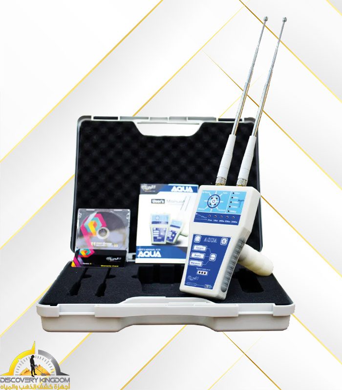
This system is characterized by the speed and ease of searching. It is used for rapid detection within a specific point in a small area. Two ground probes are used, and the search is conducted within the distance between them. The results are presented in the form of a table that includes the name of the line along which the scan was performed, the rate and type of water detected, and its depth. |
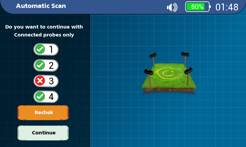
|
Automatic Scanning
Automatic Scanning
|
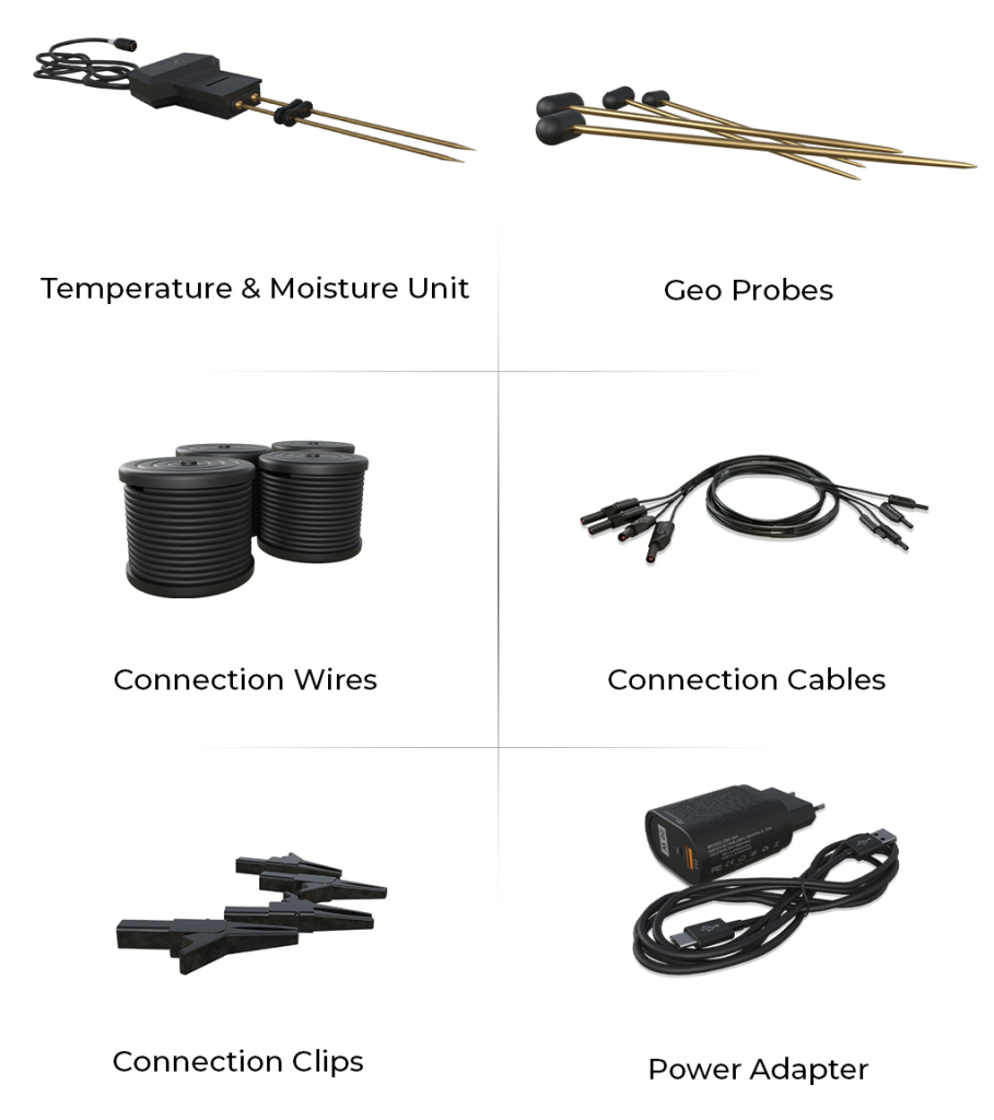
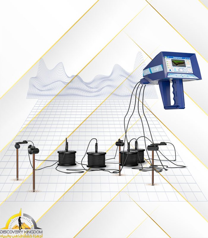
This system performs a comprehensive scan of six lines, characterized by ease and speed. A signal purification unit can be connected here, along with soil temperature and moisture measurements, to achieve more accurate results. This system is used for detection over a large area, by searching between the four ground probes sequentially. The comprehensive results are presented for all lines, with full details for each line. |
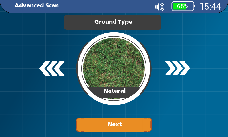
|
Advanced Survey
Advanced Survey
|
This system performs a comprehensive survey of six lines and is intended for experts only. It relies on manually setting the initial parameters of the survey system according to the area to be surveyed before beginning the survey process. These parameters include soil type, desired depth, and the distance between ground probes. It is preferable to use a signal purification unit and measure soil temperature and humidity. This system enables detection over a wide area by sequentially searching between the four ground probes. The comprehensive results for all lines are provided, along with full details for each line. |
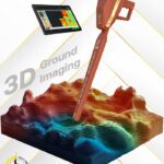
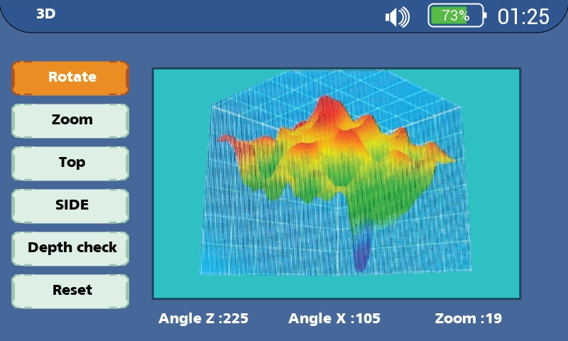
|
Photographic Survey
Photographic Survey
|
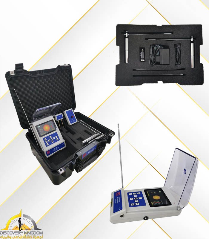
This system is currently considered a scientific revolution in the world of groundwater detection. This unique system provides results in the form of two-dimensional images and a three-dimensional perspective of the search area, which can be viewed at the angle required by the user. It also allows for the analysis of each point and the precise determination of its depth and water content. |
|


Reviews
Clear filtersThere are no reviews yet.