BR 700 Pro
The BR 700 PRO is the latest American technology from BR Systems, a specialist company, making it the world's leading groundwater detector. It was designed and manufactured with high quality and professionalism, making it the ideal tool for exploring and locating underground water with extreme precision.
The device enables the user to identify the best water points in the area to be surveyed, with the ability to see the depth of the detected water directly from the digital display. The device features an easy-to-use interface, allowing users to quickly interact with the data and pinpoint the location of water with great accuracy and speed.
Features of the BR 700 PRO:
-
Accurate detection of groundwater locations.
-
Identification of the best water point in the search area.
-
Direct reading of water depth on the screen.
-
High-quality, professional design from the American company BR.
-
Smart and easy-to-use interface for users of all levels.
-
Wide exploration range and depth up to hundreds of meters.
-
Suitable for farmers, exploration companies, and well drilling experts.
The BR 700 PRO is the perfect choice for anyone looking to access water with precision and professionalism – the power of American technology in your hands.
11.000,00 د.إ
The BR 700 Pro
BR700 PRO was manufactured in the American company (BR) to be ranked first globally, was produced with professional methods, high quality, and unique and advanced specifications that make it a comprehensive detector for all groundwater exploration and prospecting operations underground. Through this device, the user can determine the locations of water in the area to be scanned and identify the best water points in that area. It has been equipped with a feature to determine water depth, where the depth of the discovered water can be identified directly on the screen, and the abundance of water can be known approximately. It can also distinguish between fresh, salt, and mineral water, and in case of water detection, the water type immediately appears on the screen.
Device Specifications
The device features a modern crystal screen equipped with up-to-date and user-friendly operating software.
The BR700-pro detects to depths of up to 700 meters
It pinpoints the location of water and identifies the strongest water point within an area of up to 2 square meters using the included cables.
The device automatically and instantly displays the type of detected water on the screen: fresh water – saltwater – mineral water.
Anyone can use this device with ease, unlike some other devices that some prospectors find difficult to operate.
The signals and operational accuracy of the device are not affected at all by rocky, sandy, or clay soils.
The device is equipped with a fully integrated electronic operating system.
The device operates accurately in temperatures ranging from -20°C to 55°C.
It runs on a 12-volt battery that lasts for 12 continuous hours.
The device is lightweight and comfortable to carry, making it easy to move around with.
The device is designed with high-quality and durable electronic plastics.
The device supports operation in the following languages: English, French, and Arabic.
Made In USA.
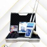
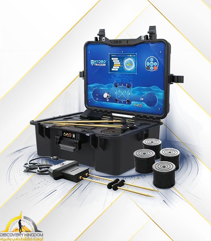
Device Operation Program:
The device operates on the SRB system, an enhanced concept based on the global soil resistivity measurement system. This system sends waves and electrical impulses into the ground, measuring all soil frequencies and resistance, and analyzing them to display graphical readings on the main screen. The device is equipped with an electronic test resistor that provides the same resistance as water to ensure the device is functioning correctly.
Search Options: Automatic Search
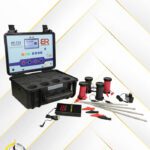
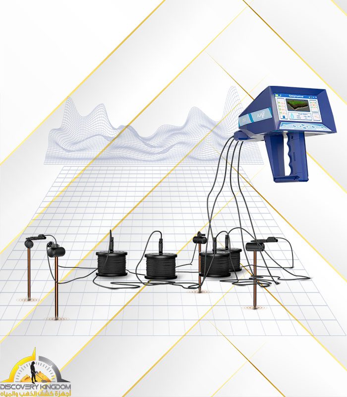
Initially, the four probes included with the device are planted in the ground in a square or rectangular shape. Then, the cables are connected between the probes and the device at the designated poles on the device's main interface. After that, the device is turned on, and the language is selected.
Next, automatic search is selected, and the user waits for the comprehensive automatic scan to be completed between the four probes. The result then appears on the screen, clearly showing the locations of water between the planted probes in the ground.
For example:
Between probe 1 and 2: Water exists - Water type: Fresh - Depth: 150 meters.
Between probe 2 and 3: Water exists - Water type: Fresh - Depth: 150 meters.
Between probe 3 and 4: No water exists.
Between probe 1 and 4: No water exists.
After the search results appear, we proceed to the location where the presence of water has been confirmed. We then perform a manual search between only two poles, without the need for a full search of all four poles. We narrow down the location by bringing the poles (probes) closer to each other until the location of the discovered water is determined within the smallest possible area, and drilling can commence from there.
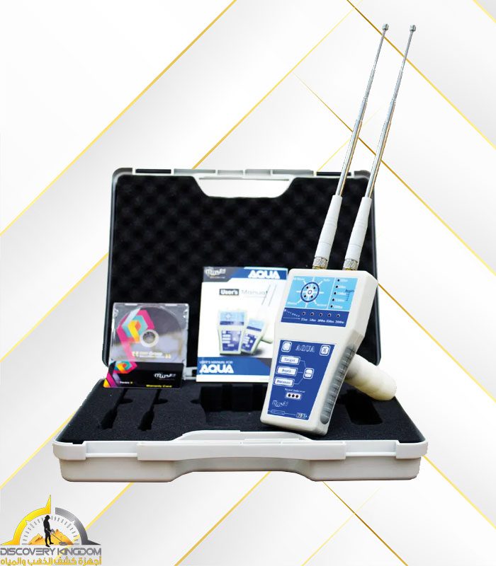
Manual Search:
Manual search differs from the comprehensive automatic search. In manual search, we can plant only two poles (probes) in the ground without the need for four poles. These two poles are planted in the ground to investigate a specific area.
For example:
Search between probe 1 and probe 2 only.
Or search between probe 2 and probe 3 only.
Or search between probe 4 and probe 1 only.


Reviews
Clear filtersThere are no reviews yet.