According to surveys we conducted, the majority of prospectors who used ground imaging systems encountered many difficulties in using these devices and their complex software.
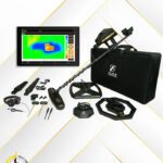
However, we have addressed all these complexities and difficulties in our 3D ground imaging systems. Our system provides easy and seamless control that anyone can use and operate with ease.
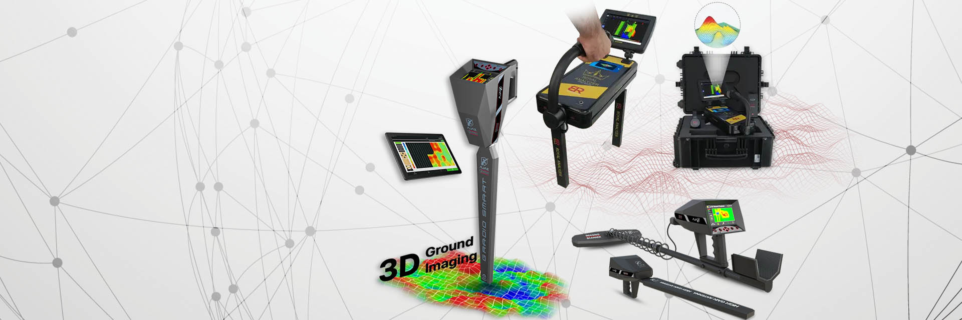
A dedicated software interface is available for the 3D ground imaging system, allowing you to freely control survey settings and features.
Ground balancing is enabled using a tablet computer to work with the AJAX analysis application.
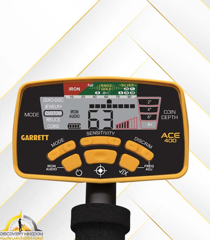
Ground scanning allows you to set up all survey features directly on the device screen, such as controlling survey steps and rows, survey method, starting point, and automatic or manual search. Then, you can start the survey and display the results directly on the screen. You can also analyze the survey, identify target locations, and pinpoint their points.
The user can connect the device to a tablet via Bluetooth to use the Windows AJAX analysis application, providing additional analysis tools and 3D visualizations of targets.
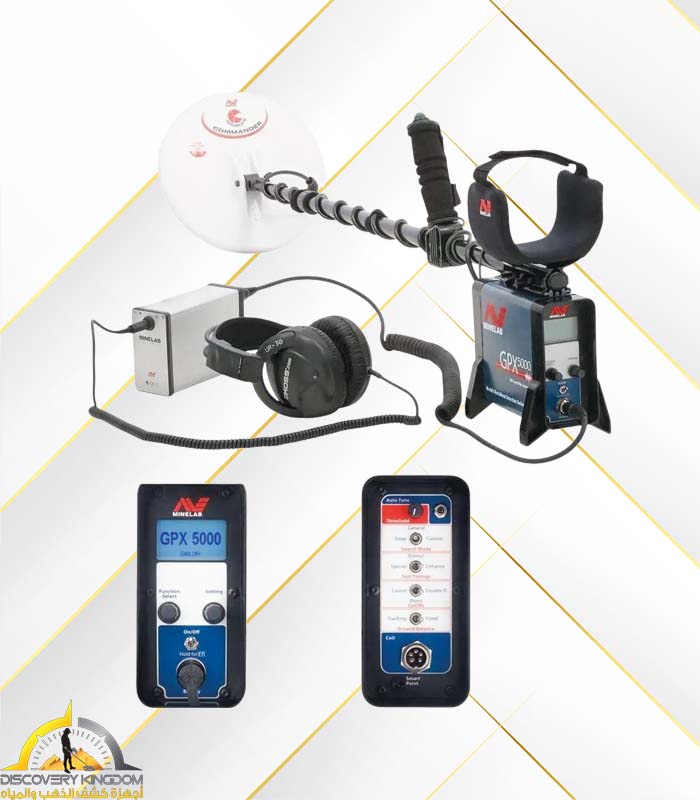
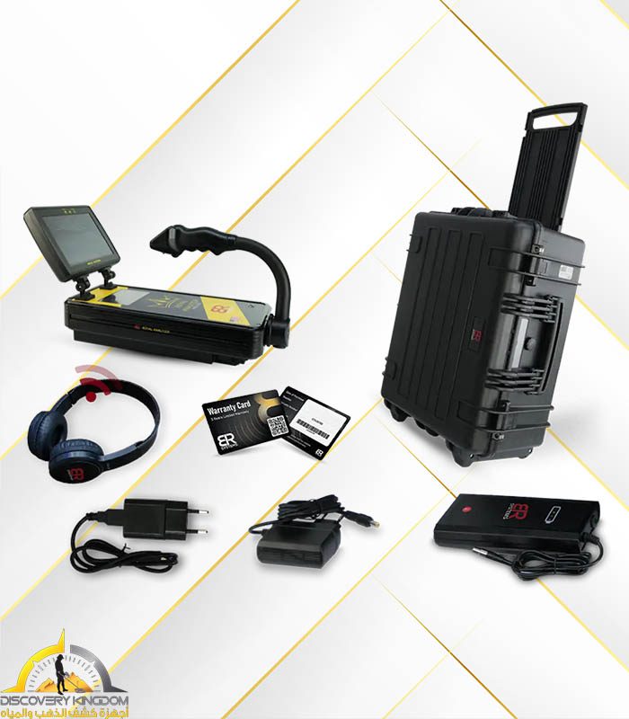
Two types of scanning units supplied with the device can be used: the multi-tasking longitudinal scanner to scan a limited location, or the cross-sectional scanner with multiple radar sensors, which operates with high-transmission vector power to cover a larger area in less time.
Ground balancing is achieved through automatic calibration, in which the system takes the necessary reference for tuning, or through manual calibration and tuning, which the user adjusts according to the search area.


Reviews
Clear filtersThere are no reviews yet.